The tourist information about Lanzarote we wanted to have before traveling there.
Lanzarote Map - Best Offline App for Hiking or Cycling
There are several mapping apps you can use for free. I use two of them — one for driving and other for hiking.
Google Maps for Driving
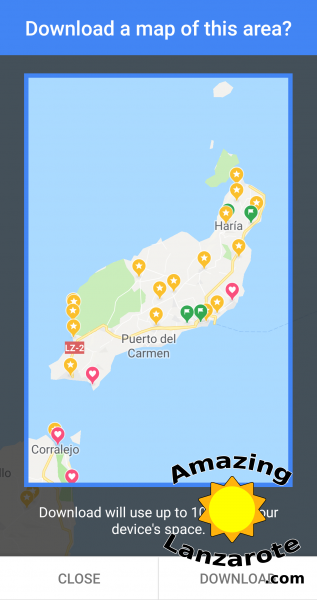
When driving I prefer to use the Google Maps which are really good and can be used offline. To download the maps, you need to go to menu and select “Offline maps”. There you tap on “Select your own map” and select the region to download offline (e.g. you can download whole Lanzarote). After a while the selected map is also available offline.
Mapy.cz for Hiking
The Google Maps I mentioned above are great for the asphalt roads. However, if you plan to go anywhere off them, you should download Mapy.cz (available for Android or iPhone), because you will get lost using Google Maps in the wilderness :-)
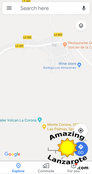
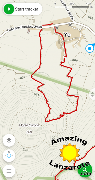
I have prepared two handy comparisons for you. First is are the screenshots of village Yé and Monte Corona nearby. You can see that there is literally nothing in the Google Maps (on the left) and that there is a detailed map in Mapy.cz app (on the right).
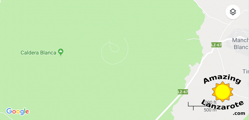
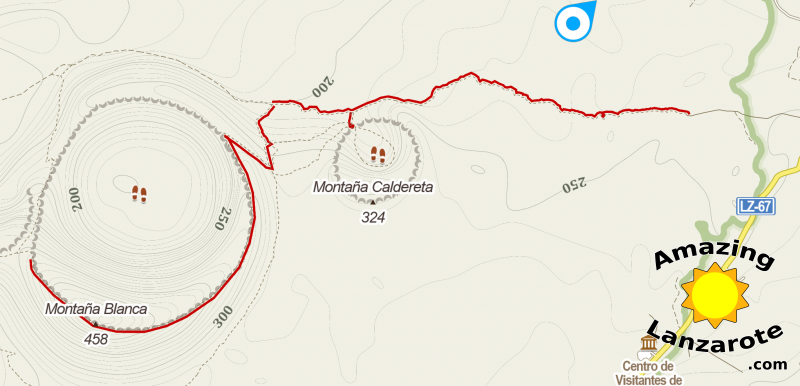
Second comparison is the region of Caldera de Montaña Blanca.
Again, there is almost nothing in Google Maps (first) and there is detailed map in Mapy.cz app (second. You can also see that the “official” tourist routes are marked with a color.
Mapy.cz app allows you to download the maps offline, which is even more important than for Google Maps, because in many places there isn’t a good cell-phone signal reception (e.g. when you are behind a volcano).
Conclusion
There isn’t one-size-fits-all mobile app for offline navigation. I recommend using Google Maps for driving and Mapy.cz app for hiking and cycling.